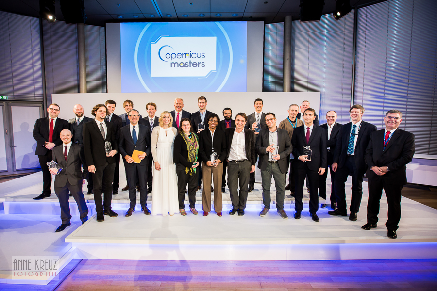
The proposal under the title «Adaptive augmented visualization of spatial, temporal and spectral Earth Observation data upon dynamic mobile device views», submitted by the Asst. Prof. Panagiotis Partsinevelos and Team from TUC's SenseLab, is the winner at the International Competition “NCMA Spatio-temporal data visualization challenge”, which is organized by the EU Program Copernicus. The winning idea is a mobile app namely CybEarth that provides augmented first person views of reality. By positioning a mobile device over an area, layers of spatial data and Earth Observation (satellite) imagery are projected on screen, dynamically matching the field of view of the camera. The user may navigate in spectral and temporal scales and add geo-tags. Further, the mobile device can be adjusted in a prototype UAV platform to integrate real time image data. The app incorporates any type of spatial data including Sentinel SAR, multispectral, vector, and sensor data. CybEarth introduces a novel generic platform embracing most EO applications from a user point of view: sea, land, air environmental monitoring, natural disaster assessment land use change, agriculture phenology, etc. promoting Earth-system awareness e-Governance and citizen participation.
CybEarth Team (SenseLab | Technical University of Crete):
Asst. Professor PanagiotisPartsinevelos, Α. Tripolitsiotis, S. Kyritsis, Α. Pitsiladis, S. Bikos, Ν. Prokas, S. Tsatsarounos και D. Hatsiparashos
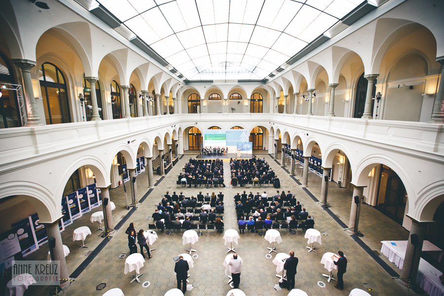
About the EU Program Copernicus http://www.copernicus-masters.com/:
Copernicus is the most ambitious Earth observation programme to date. It will provide accurate, timely and easily accessible information to improve the management of the environment, understand and mitigate the effects of climate change and ensure civil security. This initiative is headed by the European Commission (EC) in partnership with the European Space Agency (ESA) who is developing a new family of satellites, called Sentinels, specifically for the operational needs of the Copernicus programme. The Sentinels will provide a unique set of observations, starting with the all-weather, day and night radar images from Sentinel-1A, launched in April 2014.
Winners 2015


Single News - DO NOT DELETE
CybEarth- winner at the International Competition “NCMA Spatio-temporal data visualization challenge”, organized by the EU Program Copernicus