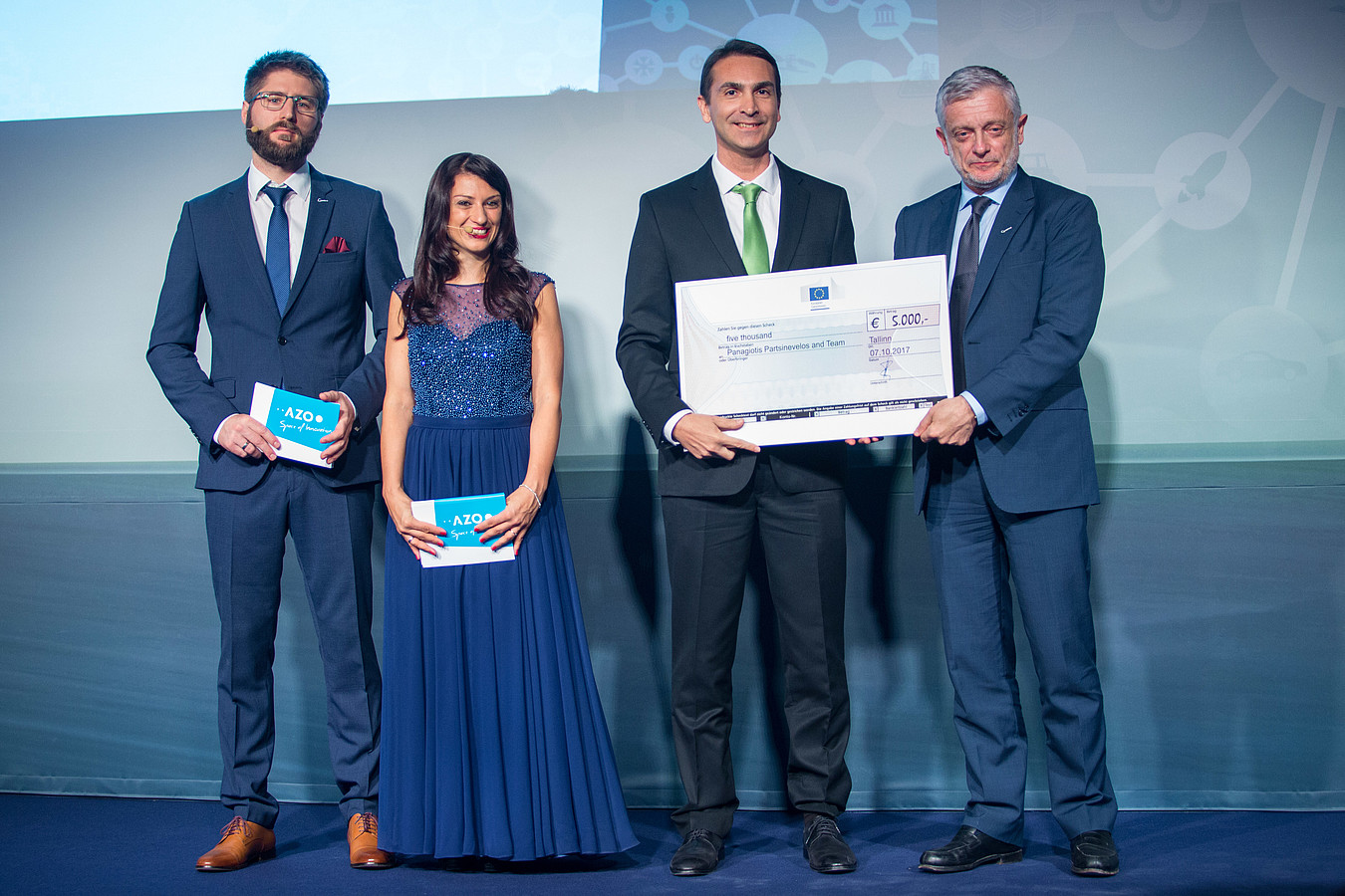
Two prizes were awarded to two projects of the Spatial Informatics research group of the Geodesy and Geomatics Engineering Laboratory (SenseLab) in the context of the international competition «Copernicus Masters», namely Space Oscars!
1st place under the category challenge European Commission Big Data, for the project:
SandMap: Real time tangible interactive maps fostering Earth Observation.
3rd place under the category challenge e-Government, for the project:
SafAIR: Smart cities, safe cities using EO and environmental crowdsourcing
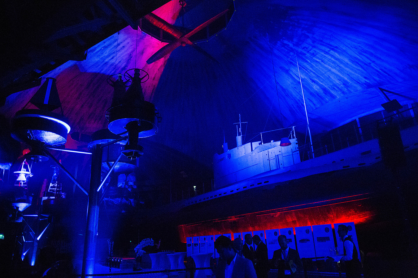
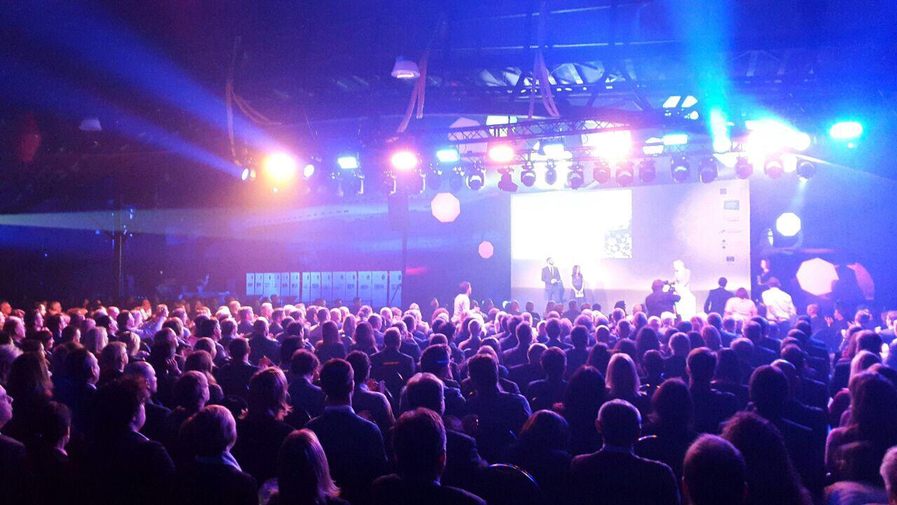
Experts from industry and research were tasked with selecting one winner for each challenge. All of the winners were announced as part of a festive Awards Ceremony on 7 November 2017 in Tallinn, Estonia. «The jury selected the project SandMap because it successfully addresses the requirements and objectives of this challenge: It will make Sentinel data easier to use, it will bring the data very close to pupils and students, and it uses the new cloud-based e-infrastructure called DIAS. We congratulate the team of the Technical University of Crete on this promising project.»
About the Project:
SandMap visualises Earth observation and geospatial information onto 3D sand formations that respond to shape changes imposed by users in real-time. The main functions of SandMap include real-time adaptive visualisation of any 3D information (contours, inclination, visibility), as well as interactive similarity exercises to familiarise students with geography. It also offers adaptive scenario modelling by placing miniature coded objects on the sand (representing people, vehicles, etc), and a VR headset connection in order to virtually experience any area, its morphologic changes (e.g. landslides) and all Sentinel multi-spectral data in first person views. SandMap capital introduces a whole new scale of interactive education and adaptive modelling for decision makers, transforming Big spatial Data to Smart Data. It promotes geographic awareness as a novel interactive education tool. It also advances a wide range of modelling applications: Natural disasters, emergency management, security, agriculture, healthcare, e-Government and more. It is a must-have for every school and command centre.
Team members: Asst Prof Panagiotis Partsinevelos, Achilles Tripolitsiotis, Sarantis Kyritsis, Aggelos Antonopoulos, Dimitrios Chatziparashis, Ioannis Brellas, Sotirios Liliopoulos, George Vastardis, Androniki Petrou.
About Copernicus Masters
The Copernicus Masters is an international competition that awards prizes to innovative solutions, developments and ideas for business and society based on Earth observation data. Myriad industries and areas of public interest stand to profit from the advances of the Copernicus programme. AZO has launched the Copernicus Masters in 2011 on behalf of the European Space Agency (ESA) and with strong support of world-class partners as part of their mission to foster the User Uptake of Copernicus services. The Copernicus Masters has developed into the moving force of promoting cutting-edge solutions. Annually, different prize categories tackle global challenges with revolutionary competition entries in the fields of deep learning, the IoT, big data analytics, smart mobility and industry 4.0 – just to name a few.
Images: © AZO